|
|

|
The territory
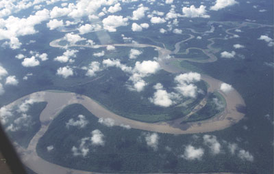
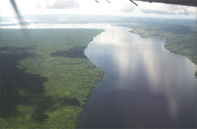
The land of the Asmat extends to the south of Indonesian Papua New Guinea, 150 km north of Australia, below the equator. It comprises vast lowland rainforests, second only after the Amazonia, extensive wetlands, some of the largest expanses of mangrove forest in the world and an intricate network of rivers flowing into the Arafura Sea. The region is dotted by hundreds of small isolated villages located on the foothills of the Jayawijaya mountain range, on the Casuarina coast and along the estuary of the rivers, some of which can be reached only with great difficulty.
|

|
The tropics are erroneously imagined as a serene, bright and sunny environment, while the reality is entirely different. It is difficult to deal with it: the alluvial land is interspaced by swamps a few metres above sea level, perennially inundated by the tides and by strong equatorial rains. Any simple activitity is hindered by the mud. The huge forest trees, twined with thorny plants, hang like a canopy over the narrow rivers. Moving around is possible only by boat , canoeing through a thick network of small rivers.
There are no roads or airports and the only means of transportation is a boat (or helicopter). The Papuans move on the backwaters, inhabited by crocodiles and snakes, using very small dugouts.
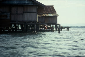
The sun beats mercilessly from late morning to sunset, but inside the thick forest the light is scarce. Near the villages, the monotonous call of the birds and the incessant buzz of the mosquitoes mingle with the joyful cries of the children diving from the wooden walkways into the muddy waters.
The Asmat territory has been divided by scholars into four main areas, each with its own style and myths, though the population is in fact subdivided into twelve groups with distinct cultural traits – as shown in the map. This picture is a perfect reproduction of the complexity in similes and differences of the Asmat people.
|

|
|
|